The Formation of Meanders and Ox-Bow Lakes Varun Tumuluru
Arvian Hesketh
Carlotta Paone
10/02/14
1
River Landforms:
FIGURE 1: RIVER LANDFORMS1
Figure 1 depicts the various different landforms that a formed across a river basin, and from the
source to the mouth can include tributaries; confluences; deltas; levees; meanders; ox-bow lakes and
so on. This factsheet will focus primarily on the formation of meanders and ox-bow lakes.
1 (Podbury, 2013)
The Formation of Meanders and Ox-Bow Lakes Varun Tumuluru
Arvian Hesketh
Carlotta Paone
10/02/14
2
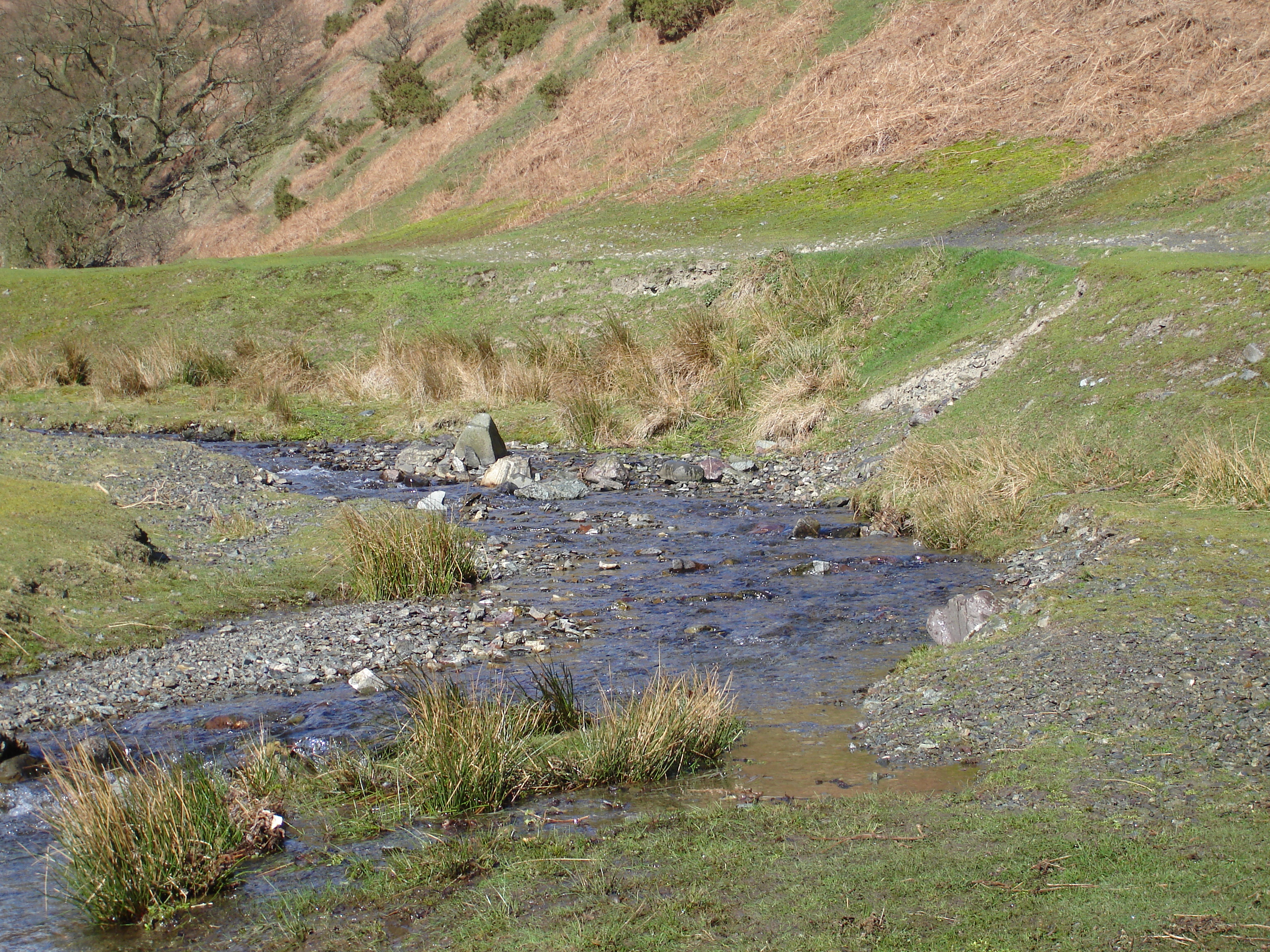
Meanders: are often located in the middle course of rivers, they are winding curves or bends in
rivers2
FIGURE 2: MEANDER CROSS-SECTION3
Figure 2 depicts a cross section of a meandering river; portraying the water speed: slowest on the
inside bend, and fastest on the outside. The erosion and deposition; the former of which takes place in
the outer bend - forming a river cliff, while the latter taking place on the inside bend (low velocity),
creating a slip-off slope of sediment
FIGURE 3: FORMATION OF A MEANDER.4
Figure 3 depicts the formation of a meander; detailed stages are below:
2 (Bennett, 2010) 3 (i-Study, n.d.) 4 (Field Studies Council, 2010)
The Formation of Meanders and Ox-Bow Lakes Varun Tumuluru
Arvian Hesketh
Carlotta Paone
10/02/14
3
1. During low hydraulic radius and flows, the river deposits sediment in alternating bars that
create riffles.
2. The latter lowers the hydraulic radius for the area and water flows more inefficiently over it.
3. In turn, water flows around them.
4. This creates variations in flow and introduces a side to side motion to the water.
5. Between these shallow riffle areas deeper areas called pools are eroded. At times of higher
flow, water swings around one side of a riffle; undercutting the opposite bank through erosion...
 English: S Knights, my photo, March 2007
 English: The River Ching. The geomorphological for...
 English: Aerial photograph of meandering course of...